Introduction/Purpose
The “Locations” module serves as a fundamental component in the system, empowering admin users to create optimized routes and trips with efficiency. This module is designed to manage and store information about various geographic points, addresses, landmarks, and waypoints that vehicles need to navigate during their journeys. By offering accurate location data, route optimization capabilities, and geofencing features, this module contributes to safer, more efficient, and more reliable vehicle operations. The “Locations” module streamlines route planning and execution, ultimately leading to enhanced service satisfaction and operational excellence.
Dependencies/Assumptions
The optimal functionality of the “Locations” module within the Smart Tracking System is contingent upon several essential dependencies that play a crucial role in the proficient management of routes, trips, and navigation. These dependencies encompass a spectrum of technological elements, data sources, and integrations, collectively contributing to the precision and efficiency of location-based functionalities. Some of the critical dependencies include:
- System Performance: System should respond properly to retrieve, process and save data accurately.
- Data Source: The Locations module depends on current geographical data sources, including maps and GPS coordinates. These sources provide accurate information about roads, streets, addresses, landmarks, and other points of interest that form the foundation for route planning, Trip Planning and navigation.
- Tracking Devices: Accurate GPS data collected from vehicles equipped with tracking devices is essential for pinpointing vehicle locations and tracking their movements. The “Locations” module depends on this data to validate vehicle positions, ensure accurate route adherence, and trigger geofence alerts.
- Geocoding Process: Geocoding Services: Geocoding is the process of converting addresses into geographic coordinates (latitude and longitude). The module may rely on geocoding services to accurately convert user-entered addresses into usable coordinates for further route planning, trip planning and navigation.
- Mapping API: Digital maps provide the visual representation of routes and locations. Mapping APIs (Application Programming Interfaces) allow the module to interact with map data and provide real-time visualizations and directions.
- Data Validation Mechanism: To prevent errors in location data, the module might incorporate validation mechanisms that ensure the accuracy and consistency of the data of locations entered by users.
Navigate To Locations Module
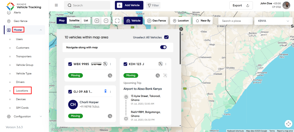
Hamburger Menu >> Masters >> Locations
Side Menu >> Masters >> Locations
The navigation to locations module typically involves the following steps:
Click On Locations Under Master Module: Users can hover to the left side of the screen to access the navigation menu. The Locations module is located in the Masters module as shown below.
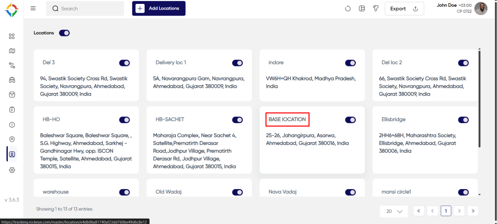
Location List
Admin will be able to view location details in the location listing page. Admin will be able to view the following details of every location.
- Name – Name of the location
- Address – Address of the location
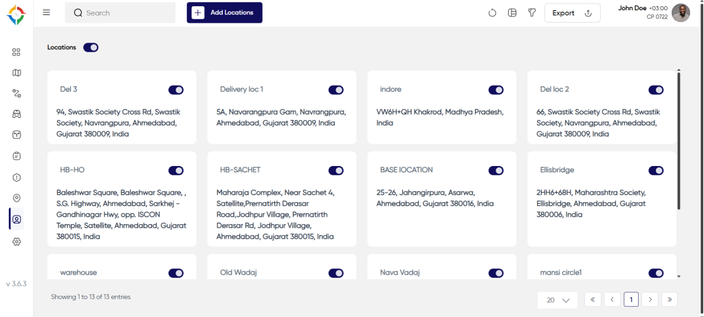
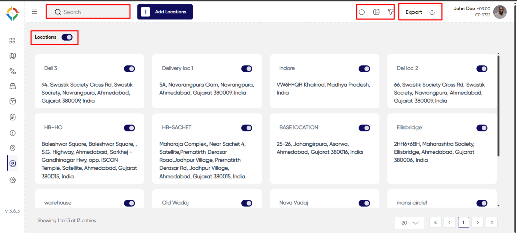
Users will be able to perform the various operations:
- Refresh
- Switch View
- Filter
- Export
- Search
- Active /Inactive Toggle switch
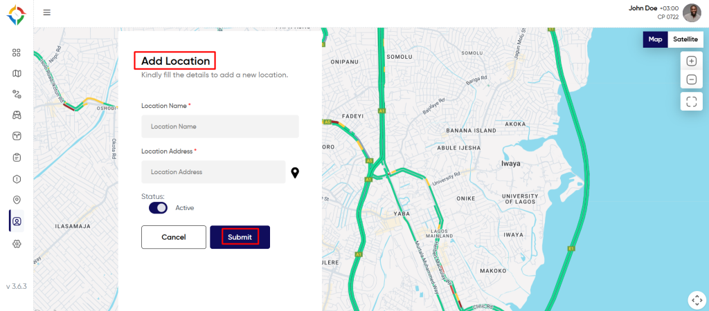
Add New Location
User will be able to fill the following details to add a new location
- Name
- Location Address / Choose address from map
Once the form is completed, click on the “Submit” button to successfully add the location in the system.
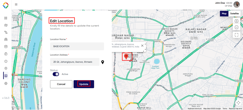
Update Location
Step 1: Click on the “Name” of the location as shown below.
Step 2: Update the location details as required and click on the “Update” button to update the location successfully.