Vehicle Tracking
ROCKEYE – Vehicle Tracking System
Customer Management
System for Fleet
Operations Explained

User Management System
for Fleet Access Control
Explained
SMS Alert Configuration
& External
Notification System Guide
Vehicle Group Management
& Fleet
Categorization Explained
Fleet Management Reports
Explained | GPS Tracking
Insights

Configure Smart Fleet
Tracking Rules &
Alerts with ROCKEYE VTS |
Setup Guide

Fleet Management,
Redefined

Role Based Access Control
in VTS Explained

Fleet Management System
with Smart Geofence
Controls

Vehicle Tracking System
for Secure SIM &
Device Control
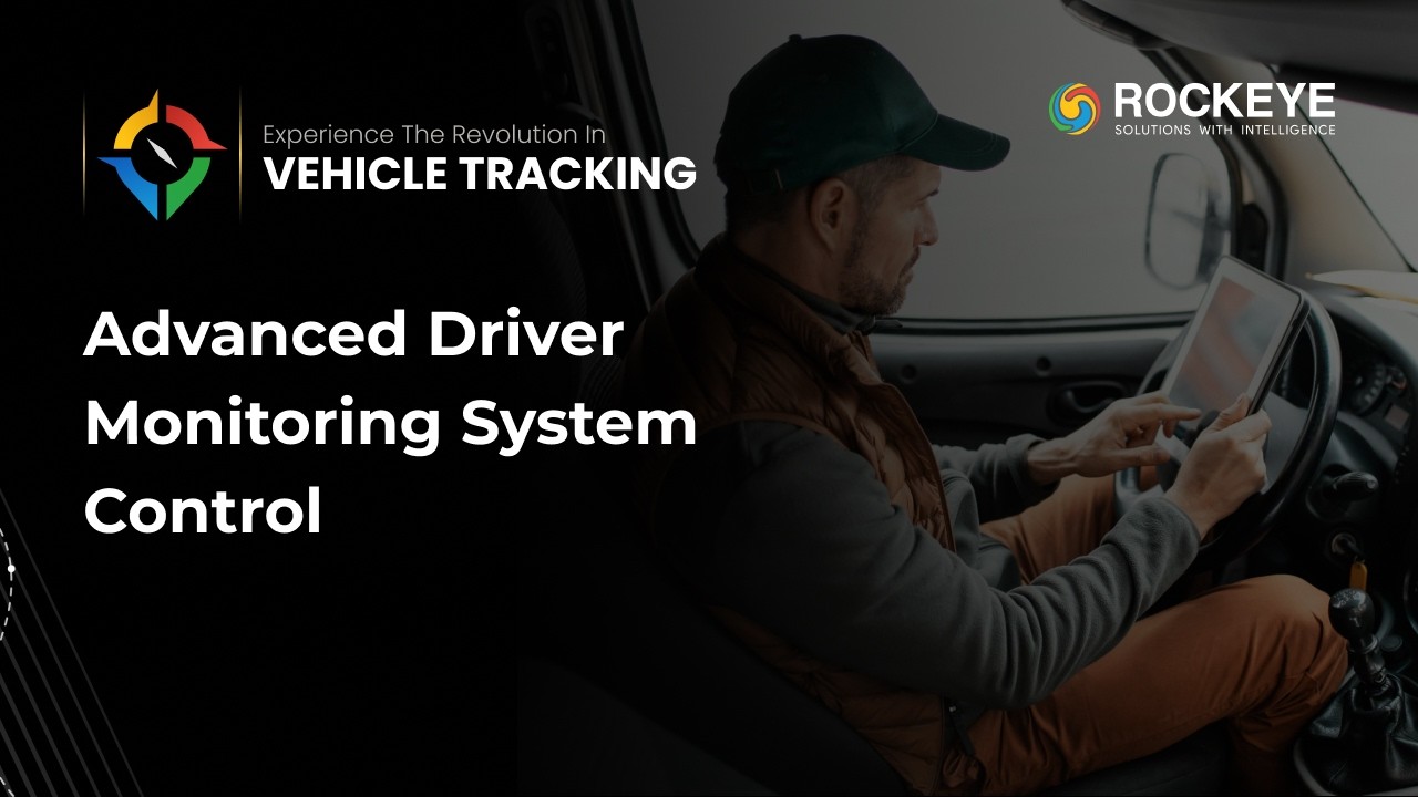
Fleet Management System
with Driver & Geo
Monitoring

Fleet Management System
for Smart Route Planning
& Optimization

Fleet Performance
Management Software for
Trip & Fuel Analysis
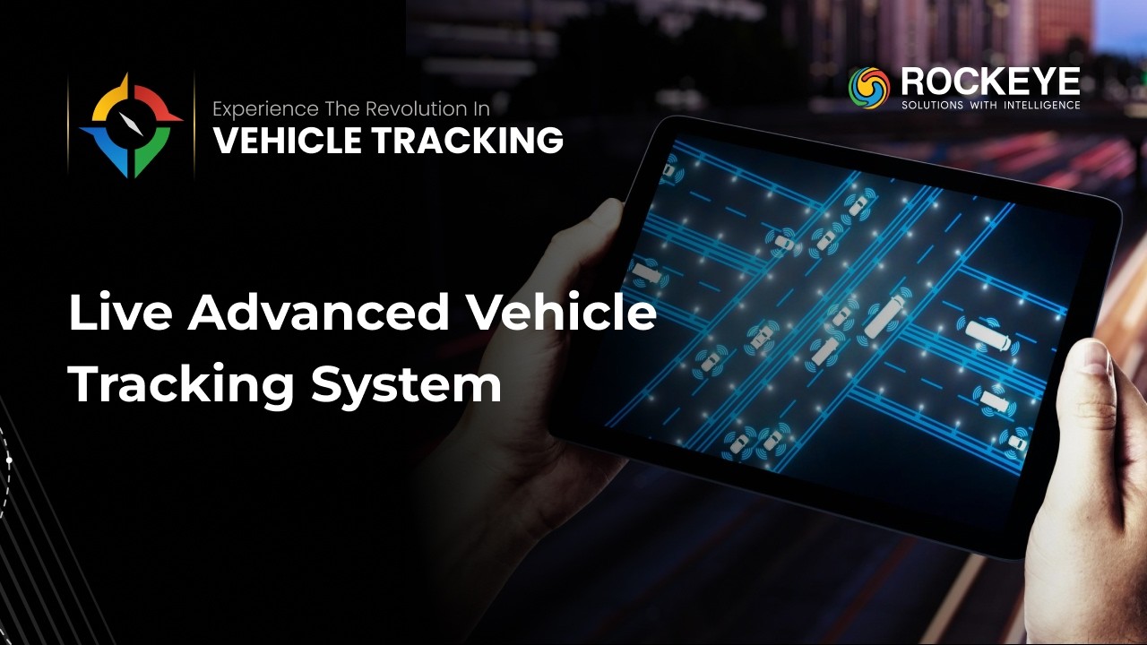
Fleet Management System:
With Real Time Vehicle
Tracking & Geofencing
ROCKEYE Vehicle Tracking
System | Full Walkthrough
for AI-Powered Fleet
Efficiency.
ROCKEYE ERP: Vehicle
Tracking Solution!
Frequently Asked Questions (FAQ's)
Your Queries, Our Answers - Let's strengthen your software development
Yes. The system tracks inventory separately for each product owner to ensure accurate stock accountability and reporting.
The Product Owner concept allows the system to segregate stock ownership when multiple companies store products in the same terminal facility.
The system allows centralized management of multiple terminals while providing real-time stock visibility for each location.
The module is suitable for oil terminals, tank farms, storage depots, distribution hubs, and other facilities that manage bulk liquid products such as petroleum fuels.
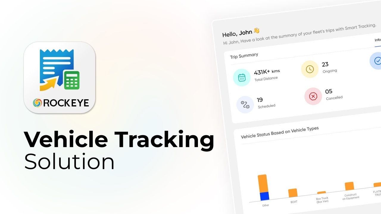
Yes. Reports summarizing vehicle activity, route efficiency, and operational performance can be generated for analysis.
Key benefits include real-time fleet visibility, improved vehicle security, route optimization, cost reduction, and better operational decision-making.
Yes. Vehicle tracking provides operational visibility, route optimization, and fuel monitoring, which can benefit fleets of all sizes including small and mid-sized businesses.
Yes. Cloud-based platforms are designed to accommodate fleet expansion and increasing data volumes.
Yes. The system can display whether a vehicle is moving, parked, or idling based on telemetry data.
Yes. Analytics tools allow organizations to schedule reports related to fleet performance and operational trends.
Yes. Role-based access control allows administrators to define user permissions and system access levels.
Yes. GPS data is displayed on interactive digital maps to help users easily monitor vehicle movement.